

Hydrographic Network
It is possible to see how the water network extends throughout the territory, highlighting the western limit of the municipality drawn by the course of the River Douro. Navigable axes and water lines cross territory
water lines
non-navigable river
Navigable River

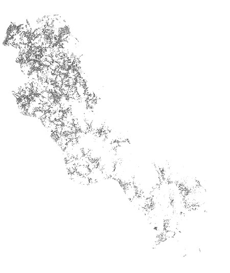
Topographic Network
Level curves
The municipality has a dynamic and winding relief, it can be seen that in the north there is a more regular topography than in the rest. Thus, in the south of Gondomar, there is greater preservation of its natural heritage. The topography becomes thus an important factor in the development of the municipality's infrastructure.

Green Spaces Network
Parks
Wild vegetation
Agriculture and forest
More than half of the territory is made up of forests that are not part of the economic fabric and which, due to lack of management, are subject to a greater risk of fire. On the other hand, they are of great importance for a balance between the natural and urbanized environment. Agriculture and forestry are all over the territory, interconnecting with the culture of local residents, as an element of cohesion and union of the municipality.

Forest Fire Hazard
Muito Alta
Alta
Media
Baixa
Muito Baixa
The risk of fire is directly linked to the difficulty of access and the lack of land management. By preserving the environment, but designing an adequate infrastructure, it is possible to reduce this risk.
Infrastructure Network
Contorno do Edificado
É evidente o contraste entre o norte e o sul do território, uma densificada rede de edifícios na proximidade com o porto e uma diminuição dos centros urbanos no resto do município. A preocupação de fixar a população nas freguesias mais a sul surge também

Infrastructure Network
Habitações
Espaços Públicos
Equipamentos Públicos
Rede Elétrica
Equipamentos Públicos
The complex network of infrastructure, interconnecting water supply, connection to sanitation, electricity network, etc., is found in greater density according to the population distribution of the municipality.

road network
Rua | Avenida | Rotunda
Estrada Municipal
Caminho
Due to the fact that Gondomar has a great relationship with the city of Porto, the road network is also proof of that. The highways and national roads form a set of increasingly wider rings, passing through the Municipality of Gondomar, forming a denser road network on the border between the two neighboring Municipalities and spreading throughout the territory of Gondomar.

Economic Activities Network
Comércio
The map shows a greater concentration of economic activities in the north of the territory.

Public Spaces Network
Desporto
Escolas
Religião
Parques | Jardins
Saúde
Administração
On the map it is possible to see how most buildings and public spaces are concentrated in the main urban centers of Gondomar. Particularly in the parishes of Rio Tinto, Baguim do Monte, Gondomar and Fânzeres, where it can be seen that the churches, together with the cemetery and in some cases the playgrounds, constitute a central core of public space.

traffic flow
Muito condicionado
Condicionado
Moderado
Pouco condicionado
In the Municipality of Gondomar, the hierarchy of streets is almost non-existent, and there may be main roads with a particular street character and with only one direction. This makes the flow of traffic more difficult considering that we are talking about a “dorm town”. The A43 can be highlighted as an important road linking the municipality to Porto.

Cut AA'

BB cut'

CC cut'